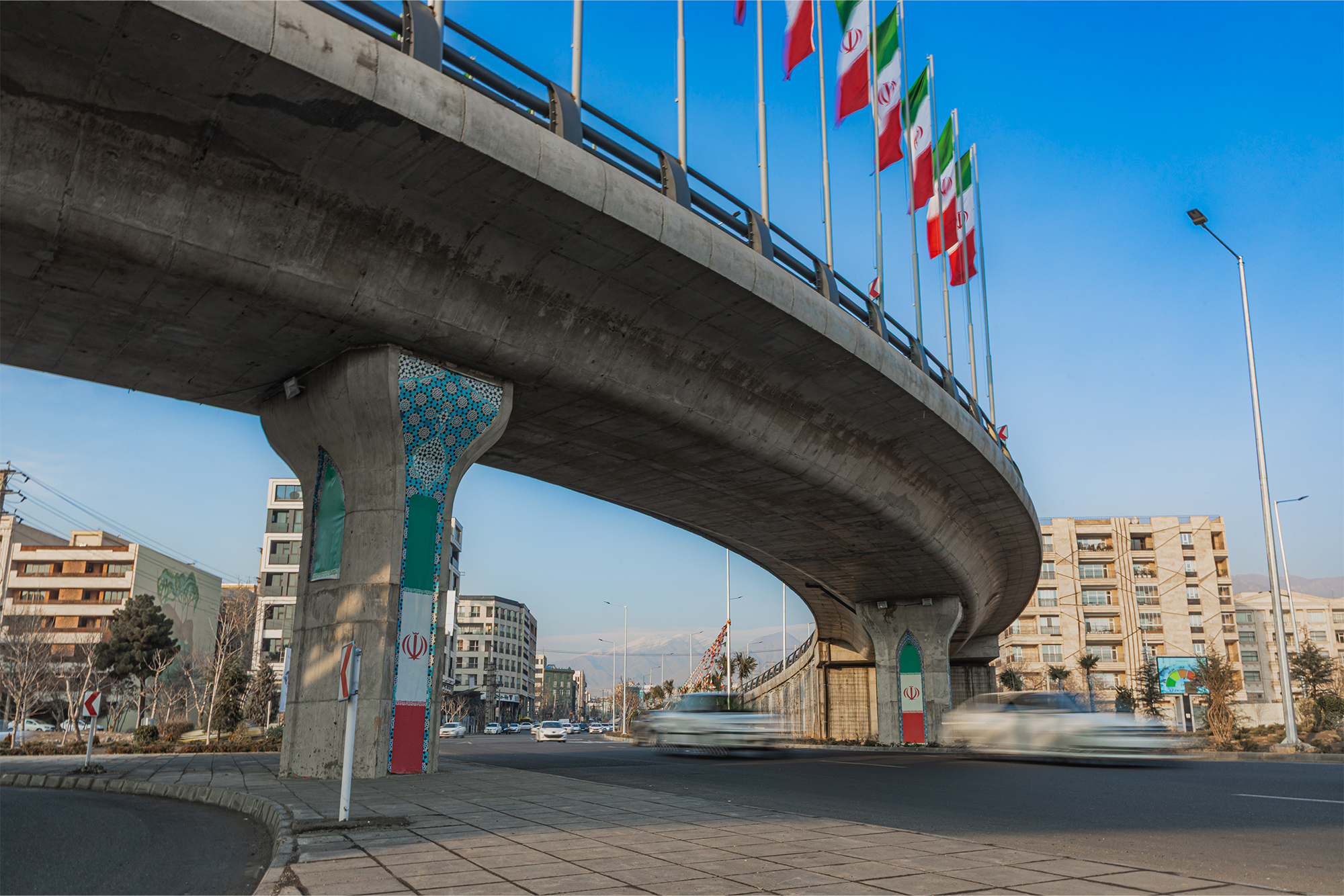
Design and Build (EPC) project of the Jomhouri-ye Eslami Square grade-separated interchange
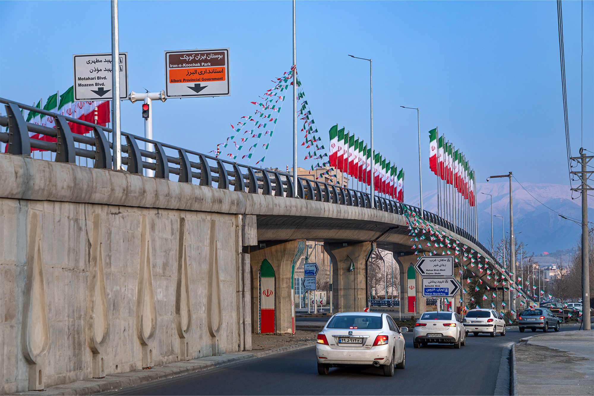
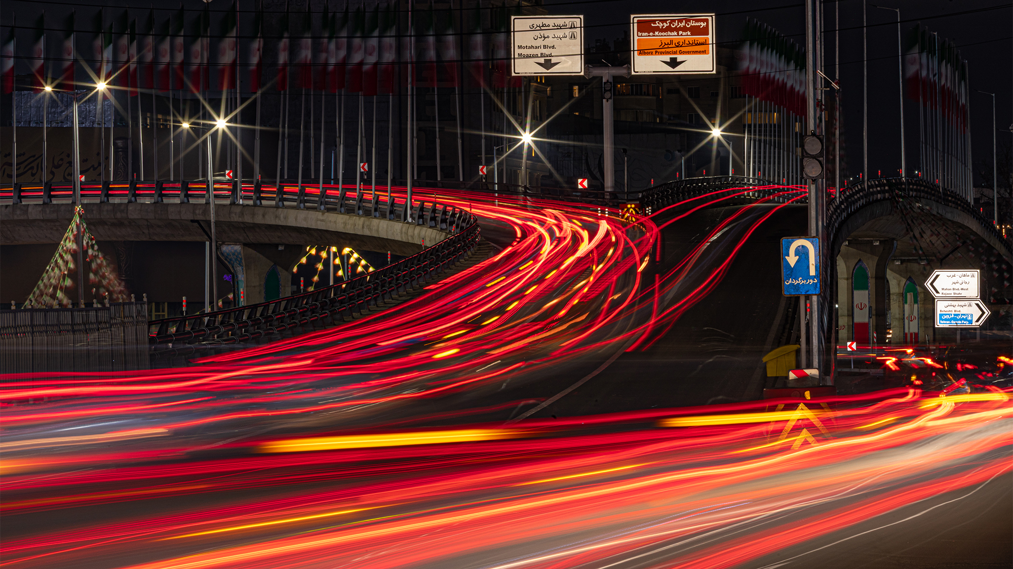
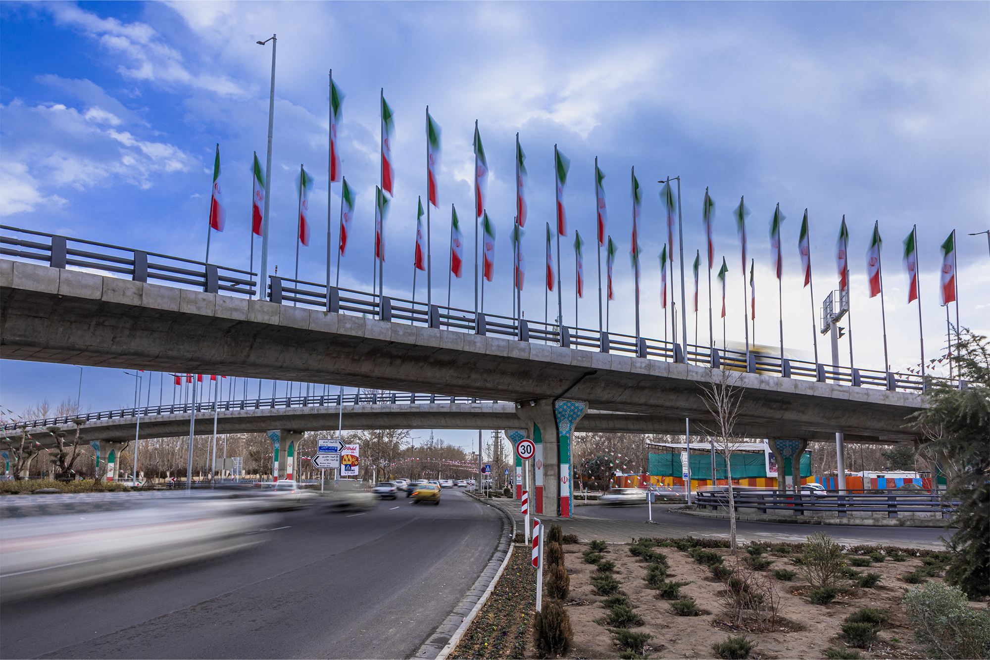
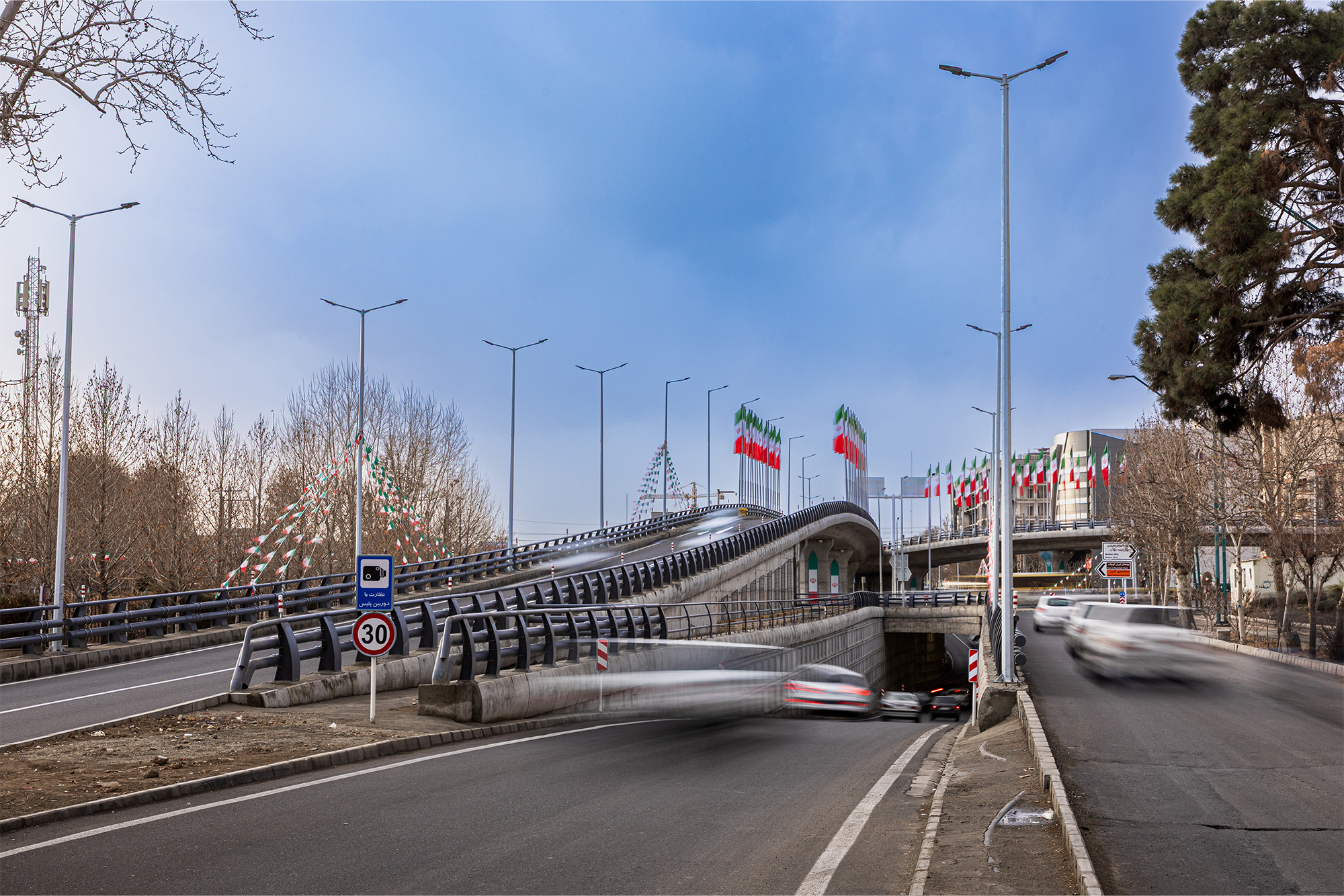
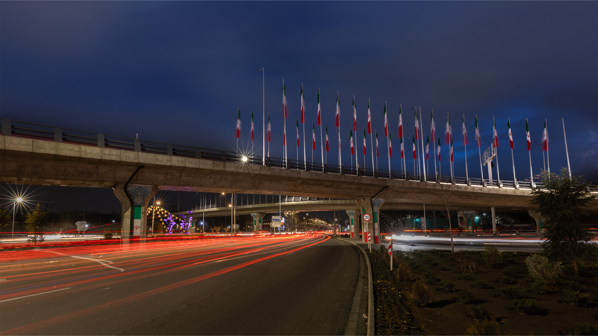
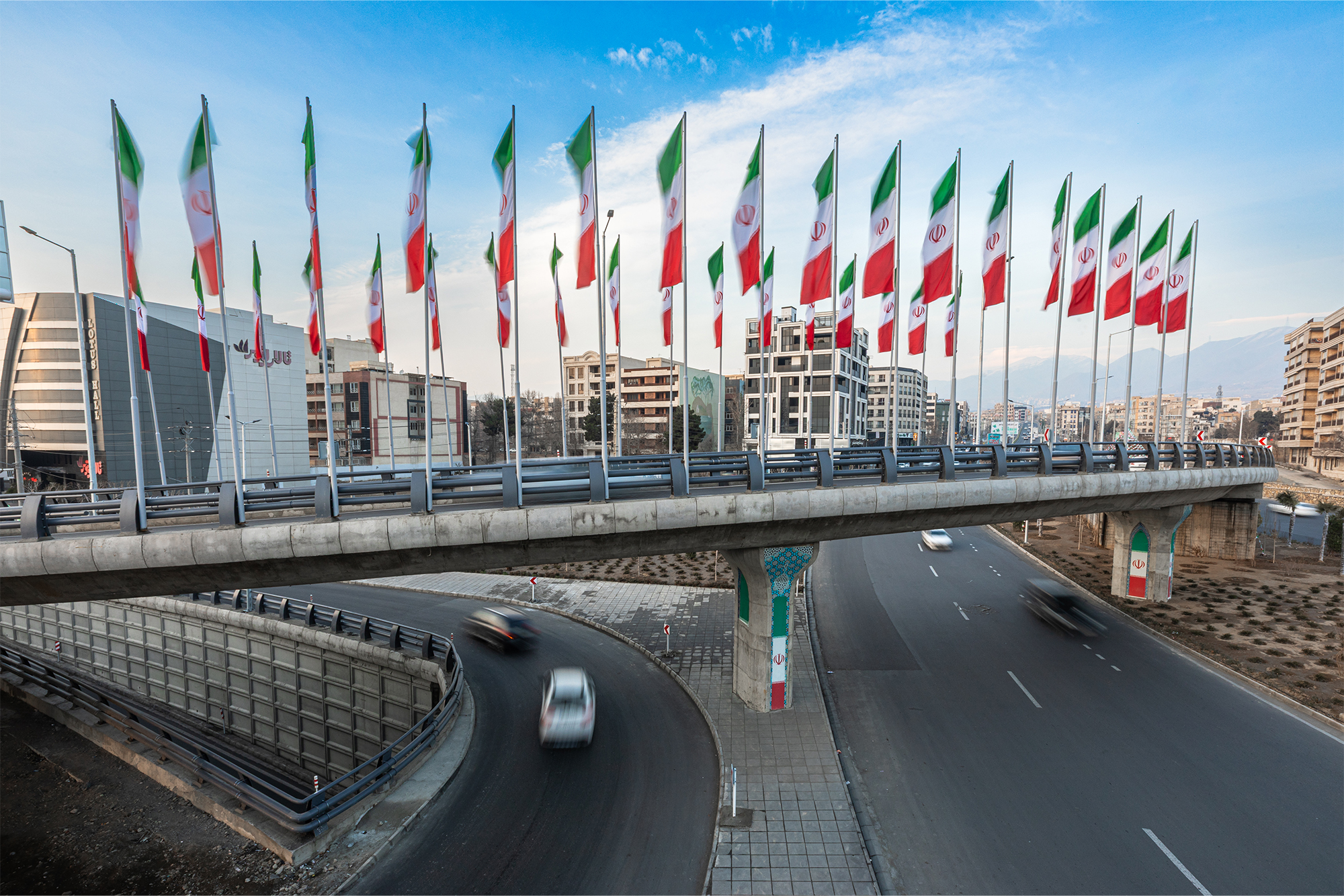
The construction of the Jomhuri Eslami Square multi-level interchange in Karaj was implemented across three distinct tiers—at-grade, underpass, and overpass—aiming to alleviate traffic congestion and enhance transit safety. Spanning a cumulative structural length of 900 meters, this scheme represents one of Karaj’s major infrastructure developments, with design phases, utility conflict resolution (right-of-way clearance), and route preparation completed at a remarkably rapid pace. The interchange has been commissioned at one of the city’s high-density traffic nodes to mitigate delays, improve road safety, and streamline vehicular movement.
At the at-grade level, the north-to-south and south-to-north alignments along Jomhuri Eslami Boulevard remain configured directly on the ground plane. Serving as the primary transit layer, this surface tier accommodates baseline arterial flow. However, to optimize conflict point management and eliminate conflicting through-movements, the critical operational capacity of the project is distributed across the two grade-separated layers: the underpass and the overpass.
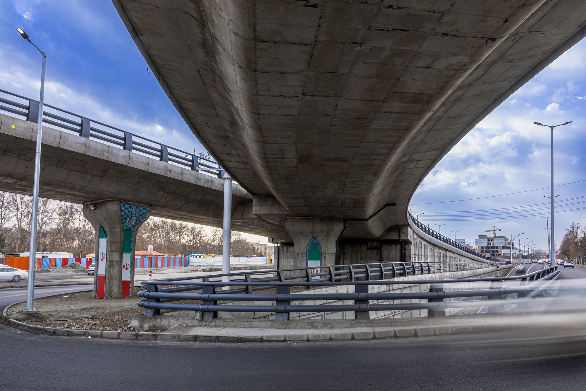
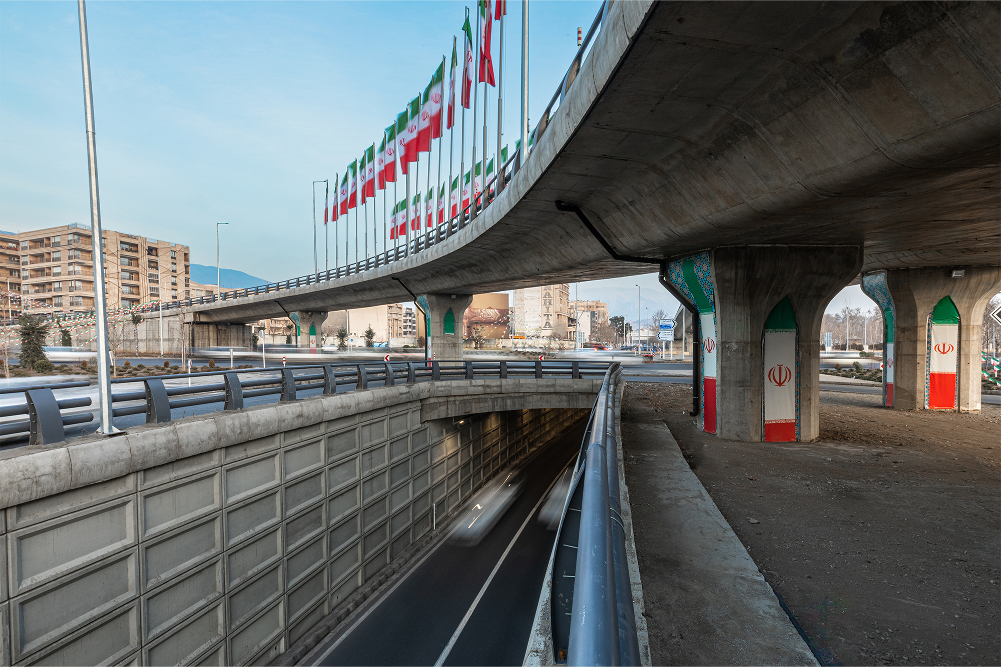
In the underpass tier, vehicular paths are fully segregated from the surface intersection plane. This subterranean configuration incorporates two ingress ramps originating from Eastern Mahan and Southern Jomhuri, converging and discharging into Western Mahan. This geometric ramp configuration enables cross-directional traffic to bypass surface intersection delays seamlessly via subsurface corridors.
Conversely, the elevated overpass structure features an ingress ramp on Western Mahan that traverses the elevated spans and branches into two separate egress ramps feeding into Eastern Mahan and Northern Jomhuri. By segregating grade levels in this manner, elevated alignments strategically handle targeted traffic flows, effectively offloading critical vehicular volume from the at-grade intersection.
In aggregate, the structural configuration incorporates overpass segments totaling 450 meters and underpass corridors spanning 460 meters—culminating in 900 meters of continuous multi-level structures within the intersection zone. These geometric metrics underscore that this development transcends conventional intersection improvements; rather, it constitutes an extensive urban traffic engineering scheme engineered to accommodate multi-directional flow across the node’s converging arterial axes.